BSF Control Room Infostructure meets Infrastructure

BSF OPS Control Room with 3D video wall, operator consoles
For more information on our solutions

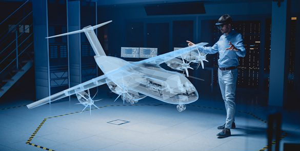
DSMS: 3D GIS based Centralized Decision Making Platform
Leveraging Geo-Intelligence
- Integrated decision making system
- 3D Geospatial framework
- Data agglomeration framework
- Report generation framework
Use Cases
- Border asset mapping
- Data mining for intelligence
- 3D GIS based operation planning
- Monitoring trans-border incidents
DSMS: An overview

DSMS: The Transformation

For more information on our solutions
Data Agglomeration – From Silos to Single Database

Authenticated user access to the system

OPS (FHQ level) and IPP (Battalion level) Data Merging portal

Merged data result log with log IDs to let the user understand partial mergers
Web portal for editing and merging partial or failed mergers


Online reports generated for incidents using the BSFOIS Database
GIS Infostructure – Leveraging the third dimension
DSM: gIS data Migration

For more information on our solutions
Mapped 3D Assets
- International Boundary
- Frontier, sector markings
- Border Pillars (BP)
- Border Outposts (BOP)
- Border Fence
- Border Fence Lighting (BFL)
- Border Fence gates, gaps
- HHTi
- Major landmarks
- Topographic peculiarities


The BSF ORBAT mapped onto the GeorbIS 3D GIS platform
The complete BSF infostructure imported onto the GeorbIS 3D GIS platform


Analysis- 3D visual analytics tools
Measuring the area of a chosen region
For more information on our solutions
Conducting a LOS analysis on DSMS


Analyzing the area monitored by HHTi through a view shed analysis
Understanding terrain contours by conducting a color profile analysis


Analyzing firing coverage of deployed weapons using crest clearance analysis
Analyzing the contour of a terrain with an elevation graph


Scenario generation framework for Operation Planning on 3D GIS
For more information on our solutions
Geospatial Analysis – Geotagged data analysis
Query builder for viewing geotagged incidents 

Macro level view of incidents along the eastern border
Micro level view of incidents along the eastern border at a BOP level

For more information on our solutions

Infrastructure- ergonomic layout
Display and computing architecture
Top view of OPS Room with dimensions


View of the 15 panel 3D video wall
Ergonomic control room layout


Operator Consoles
3D Video Wall
- Semi immersive environment
- 5 x 3, 47” LCD panels
- Passive flicker free stereo technology
- Brightness of 450 nits
- Thin bezel of 7.1 mm
- Unit resolution of 1366 x 768
- Total resolution of 11 Megapixels

VizExperts VizDisplay
- Single unit to drive all displays
- 16 composite video inputs
- 14 HDMI inputs including VC system
- Support for passive stereo 3D
- Mini-vu previewer
- Easy trouble shooting
- System properties monitoring
- 24/ 7 operation capable
- Redundant power supply
- Superior cooling vent design

For more information on our solutions